Mapping Software
Advertisement
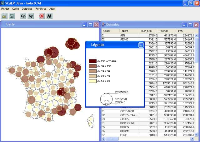
SCALP Mapping v.94
SCALP is an automatic mapping software, designed to help students and scientists to realise statistical maps.
Advertisement
Mapyx Quo v.2.4.3
Mapyx Quo is an intuitive, easy to learn and, surprisingly simple-to-use digital mapping software which enables you to connect your GPS to your PC and manage all your waypoints, routes and tracks. View information such as elevation, distance, speed,
AutoREALM v.2.2.1.66
AutoREALM is a Free GNU mapping software (a 'cartographer') that can design maps of castles, cities, dungeons and more. AutoREALM is generally used by Role-playing Game practicants who enjoy doing their own maps.
EasyDispatcher v.1.0
Freeware real time vehicle fleet monitoring software via GSM network. Vehicles modules GuardMagic VS. Can support up 50 units GuardMagic VS. OziExplorer mapping software.
FreeMind v.0.8.1
FreeMind is a premier free mind-mapping software written in Java.
Digital Photo Navigator v.1.5.0.3
Utilizing the included mapping software and latest Geo-Mapping technology, the Digital Photo Navigator allows you to record and review your trip knowing exactly where you have traveled.
Freeplane v.1. 1. 2003
Freeplane is a free mind mapping software and knowledge management software. Freeplane is a powerful and free software for building mind maps. It is a redesigned version of the well known FreeMind.
Quo v.2. 4. 2003
100% absolutely FREE fully-functional digital mapping software. All the digital mapping features you need at zero cost. Free UK digital maps included.
MapSphere v.1.0.250
MapSphere is a mapping software for Windows that:downloads maps and SATellite Images from different sources (OpenStreetMap, Terraserver, LandSat, and others);stores all the mapping data on the hard drive for offline use;represents the map in 2D and 3
KMaps v.1.0
Color-coding maps made easy. KMaps is a mapping software to color-code maps on an XY coordinate system.KMaps Features: 1. Creates color-coded maps on an XY coordinate system 2. Reads from databases defined in an XML file 3. Imports and diplays
JMap v.1.0 Beta 3
Ordinance Survey map viewer. JMap is a Java mapping software originally written to display Ordnance Survey maps but can be extended via plug-ins to include other sources.JMap Features: 1. Support for .GPX files. 2. Contains list of over 25000 POI for